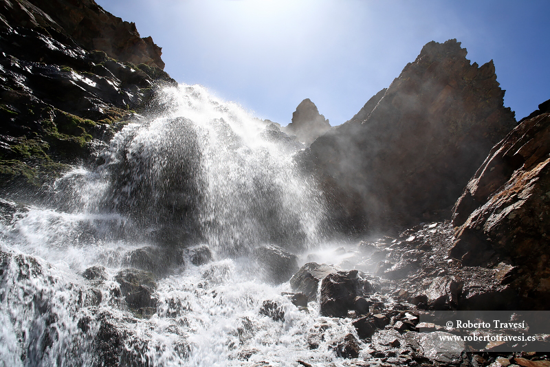
Cascada en el río Valdecasillas
Remansadas en la laguna del Mulhacén, las aguas del Valdecasillas bajan impetuosamente para formar primero el Real y, más tarde, el río Genil. Cabecera del río Genil, en torno a 2.800 m de altitud (julio 2008).The filtered water in the north of the Mulhacén is confined in the Mulhacén lagoon, after which it descends impetuously (Valdecasillas river) to first form the Real river and, later, the Genil river. Headwaters of the Genil river, around 2,800 m altitude (July 2008). EOS 5D, 1/90 s, f:13, ISO 125, 20 mm(imagen sin recorte)(image without cropping)


